Odds are, if you’ve seen an active construction site, you’ve also seen a teeming pile of discarded soils, also known as a stockpile, near it. When construction wraps up and that dirt needs to be removed, an accurate measurement of its volume is necessary. This is a time and labor-intensive task when undertaken manually—the discarded soil is uneven, making it dangerous to traverse, and oftentimes spans acres of land.
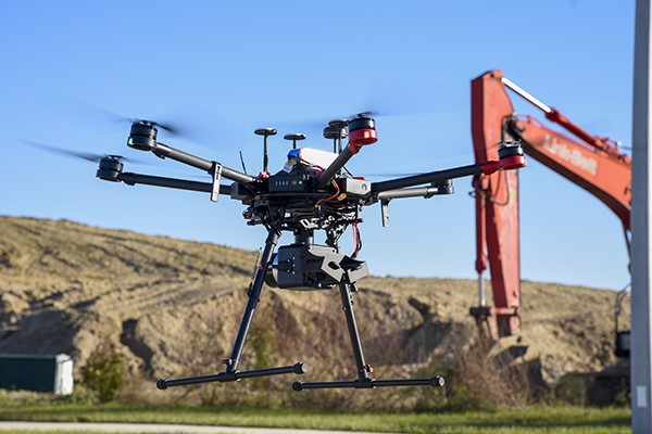
Enter aerial 3D scanning, one of the many services offered by our Surveying + Mapping department. Using a drone equipped with a LiDAR sensor, licensed surveyors can scan and measure the volume of discarded soils from above, achieving a more accurate measurement with a fraction of the time and resources. Clients can expect a faster turnaround time and significant cost savings when choosing an aerial 3D scan over a manual measurement.
Precision meets efficiency in every cubic meter with aerial 3D scanning.