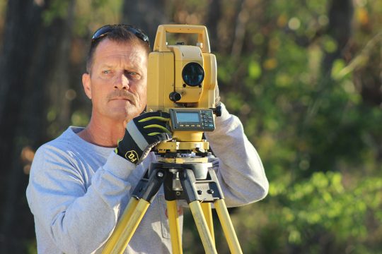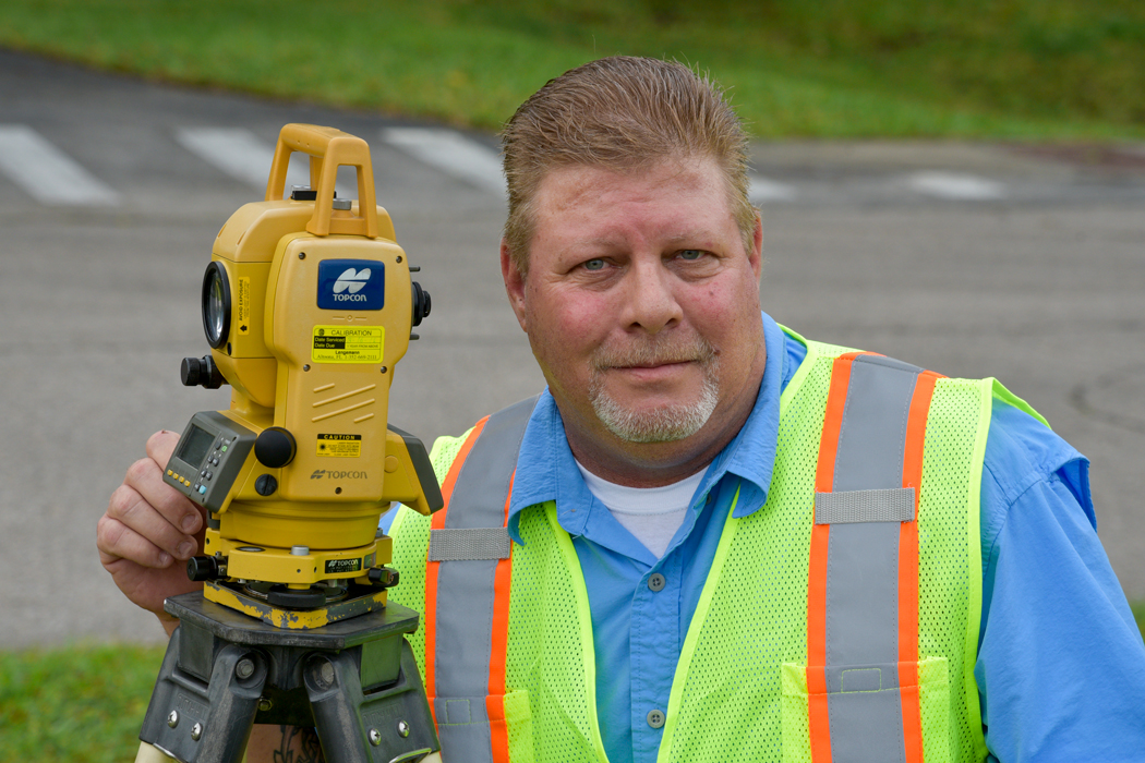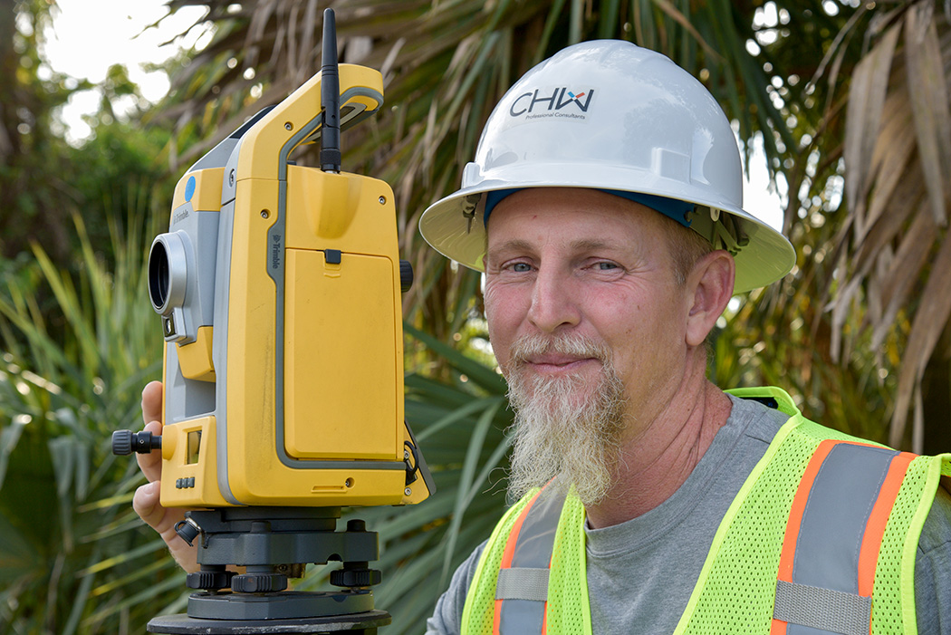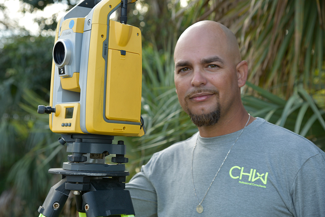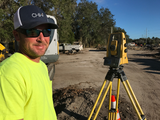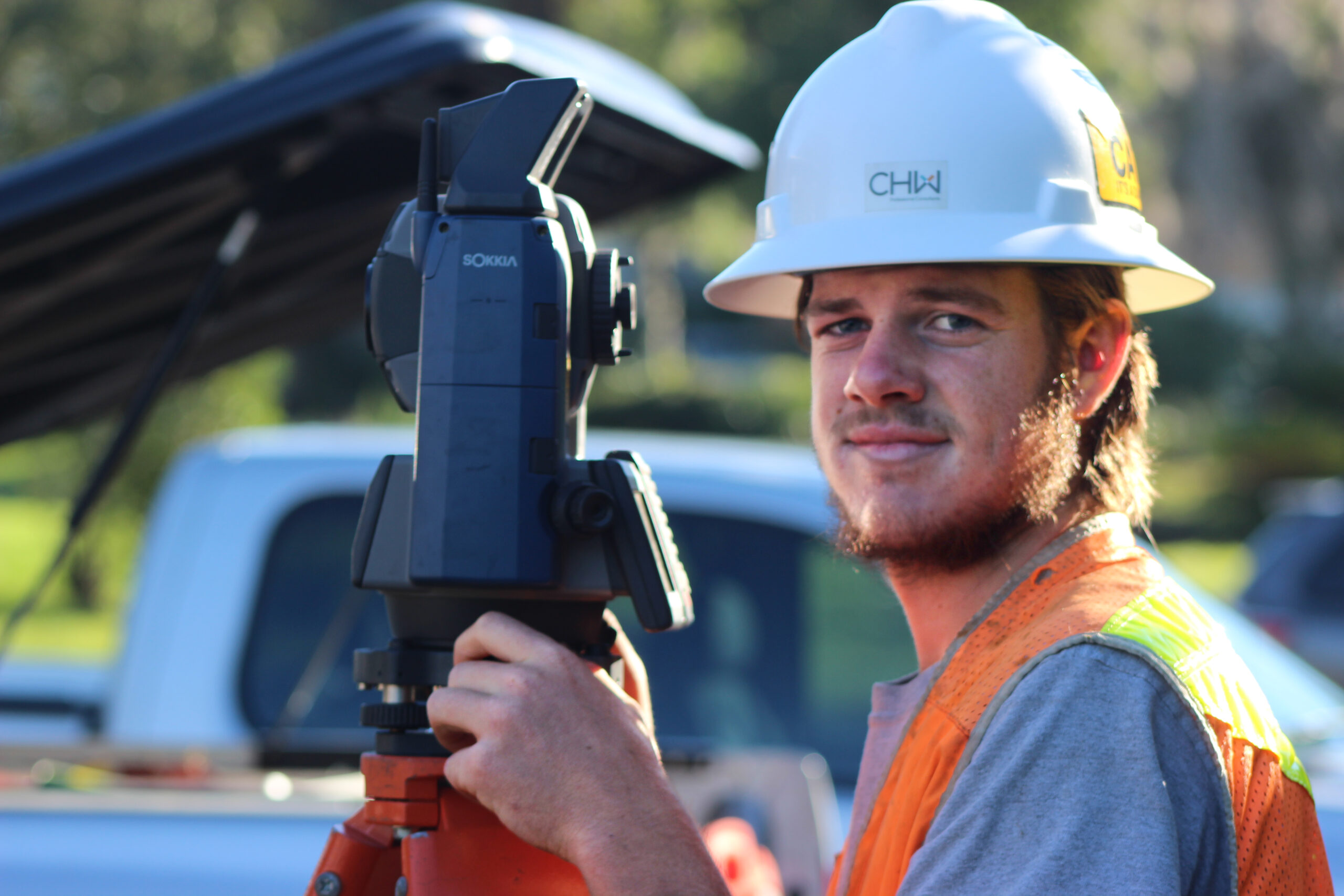
Surveying + Mapping
Our team of professional land surveyors and mappers focuses on cost-effective, accurate data collection and mapping for land acquisitions, site development, residential and mortgage surveying, land planning, architectural, and civil and transportation engineering designs.
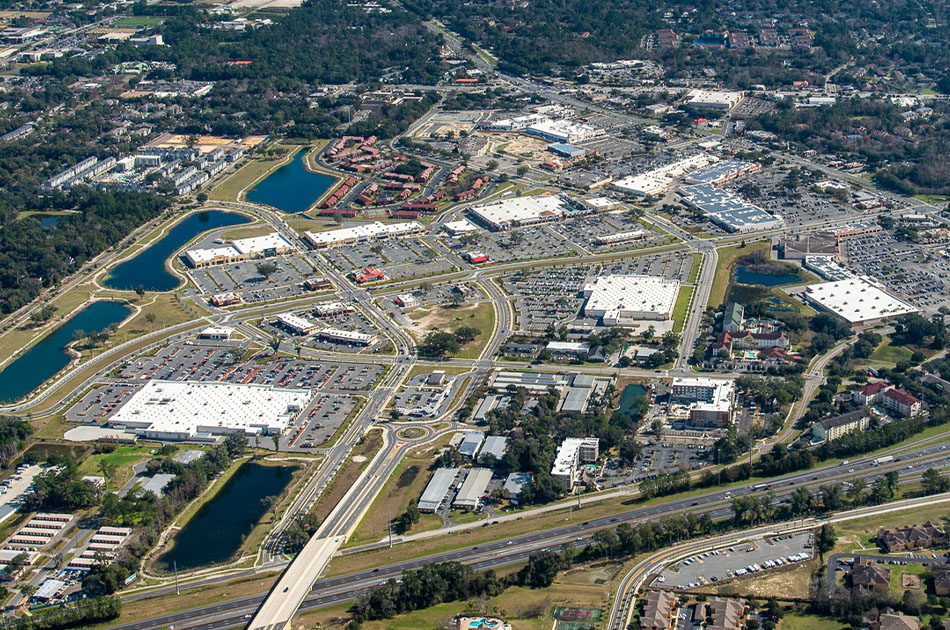
Since the beginning in 1988, CHW has offered land surveying and mapping services, working closely with governmental and local municipalities, commercial developers, healthcare campuses, and planning, design, and construction entities while serving the communities where we work and live. No matter the size or type of project, our land surveying and mapping professionals can assist you in determining the scope for your projects.
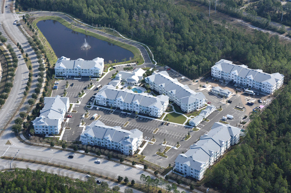
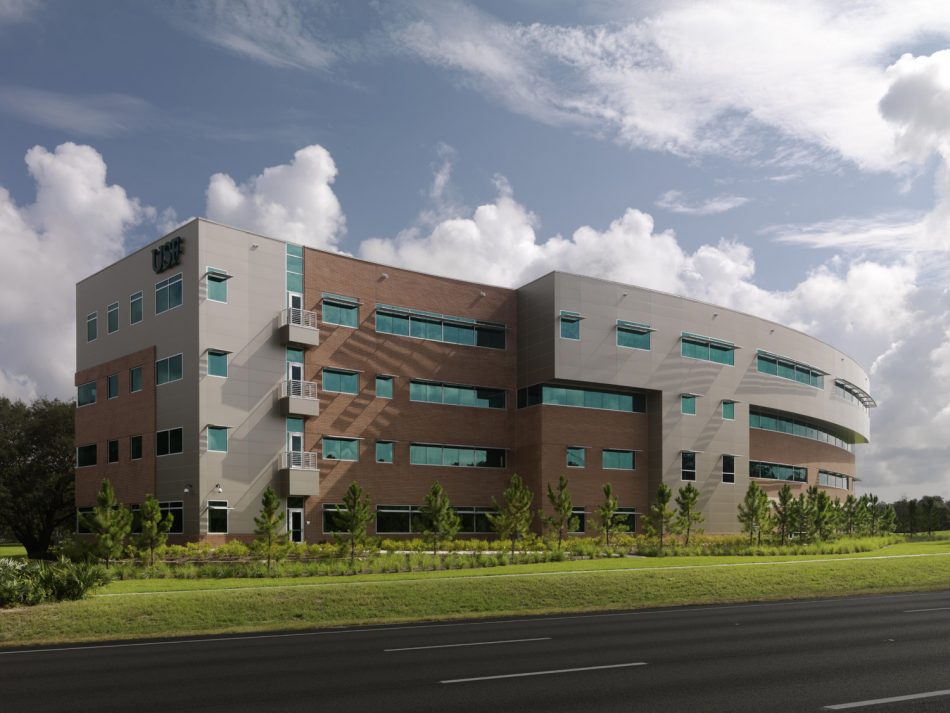
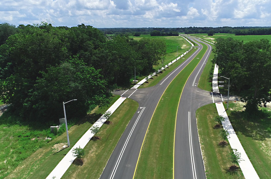
When we leverage our 30+ years of providing ALTA/NSPS Land Title Surveys, Topographic Surveys, Subsurface Utility Location/Investigation, Construction Staking, and Aerial Mapping surveying services, we utilize the latest industry technologies to complete your project with efficiency, accuracy, and concern for our surrounding environments. The Surveying + Mapping team provides the data that inspires design for communities to transform into pedestrian-friendly destinations, to create landscapes that center a health complex, to develop retail and commercial shopping centers, to provide engaging environments at educational institutions – all through our extensive land, commercial, and environmental surveying service offering.
CHW’s objective is always the same as yours: to empower progress. To learn more about our complete surveying and mapping services, get in touch with us today.
CHW’s Land Surveyors specifically offer the following services:
- ALTA/NSPS Land Title Surveys
- Commercial / Residential Boundary
- Construction Layout Services
- Platting Services, Design, and Lot Staking
- Minor Subdivisions, Lot Splits, Boundary Line Adjustments
- Topographic and Tree Surveys
- As-Built / Record
- Wetland & Environmental Surveys
- Platting / Condominium Surveys
- Hydrographic Surveys
- FEMA Elevation Certificates
- Subsurface Utility Locations
- Aerial Mapping
- 3D Scanning Systems
- Stockpile Volume Reports
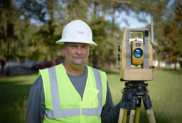
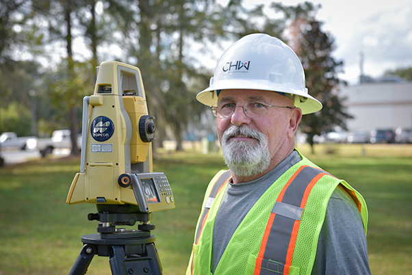
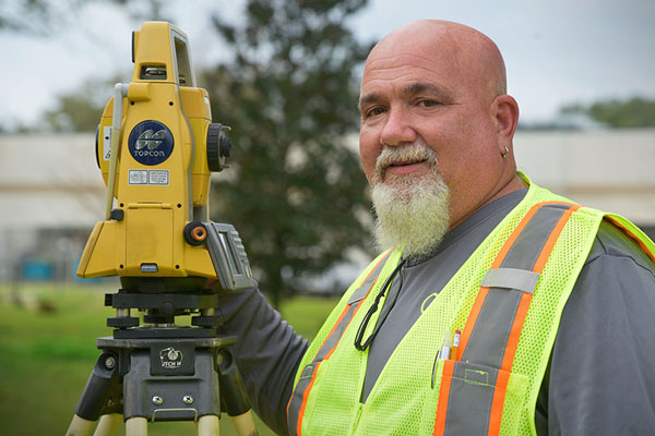
Associated Team